
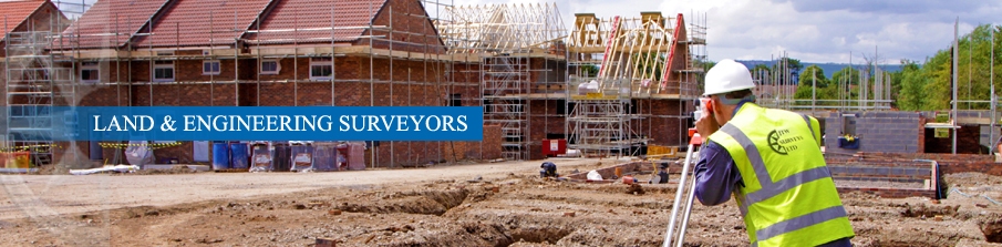

Our Services
Topographical Surveys
We provide topographical survey plans to the desired specification of the client. A topographical survey allows for creation of digital terrain models, sectional drawings and volumes calculations.
Typical survey sites include residential properties, greenfield sites, roads, country properties, business and industrial areas. People who use topographical survey plans are architects, landscape designers, property developers, contractors and local authorities.
Surveys can be in terms of Ordanance Survey National Grid and Datum using GPS or to a local grid approximately orientated north. Plans are drawn using 12d and Autocad software produced in different formats and scale as desired.
Measured Building Surveys:
Measured building surveys provide data for architects and designers for alterations, refurbishments and arrangement design.
These plans cover full internal and external surveys, floor plans, sections and elevations.
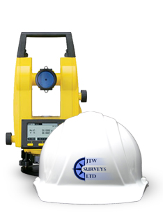
Field data is gathered by Leica instrumentation with reflectorless technology providing information to non accessible points such as neighbouring houses and features at height like eaves and roof ridges.
Site engineering Services
- Setting out
With vast experience in the construction industry we can provide you with your setting out needs. Items often required by contractors to be set out are: gridlines, datums, drainage, piles, and new house builds(foundations, blockwork).
- Monitoring
Where there is a requirement for a structure or feature to be monitored we can install control points and targets observed at set time periods to show any changes in vertical and horizontal movement.